

Monterey, 17-Mile Drive, Pacific Coast Hwy
Do you remember playing the game Roadrash? I’m sure that everyone must have played this deranged motorcycle-racing game at least once during their younger years. Some of us liked the game for the ability to ride close to your opponents (while racing) and literally kick/whip/punch them off their bikes. Roadrash in the current era is considered as a dinosaur but no matter what anyone says, old-school games rocked. But why am I talking about a video game when this is a travel diary? Well, in Roadrash, the gamer had the option to select certain locations to race; if you didn’t know, most of these locations are from California. I’d like to draw your attention to one such location which I loved the most- the Pacific Coast Highway, the rugged coast-lines looked captivating even with the computer graphics of those days. I never thought that I’d get the opportunity to see these locations in the real world. But I did and so, this is my travel diary to Monterey, the 17-Mile Drive and other beautiful locations along the Pacific Coastline.
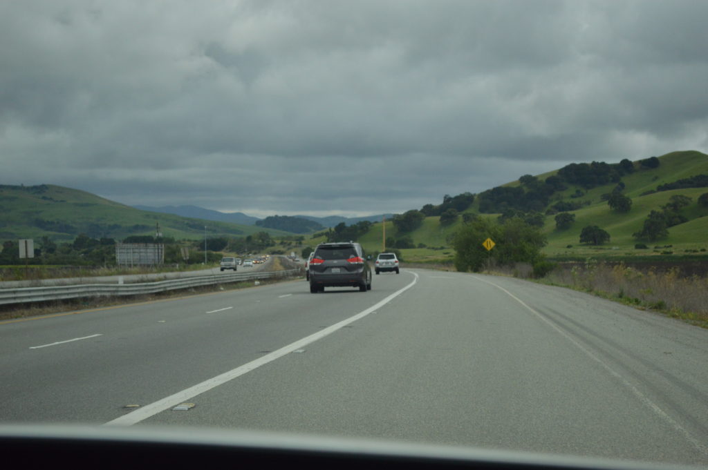
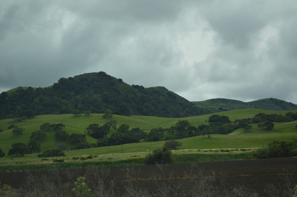
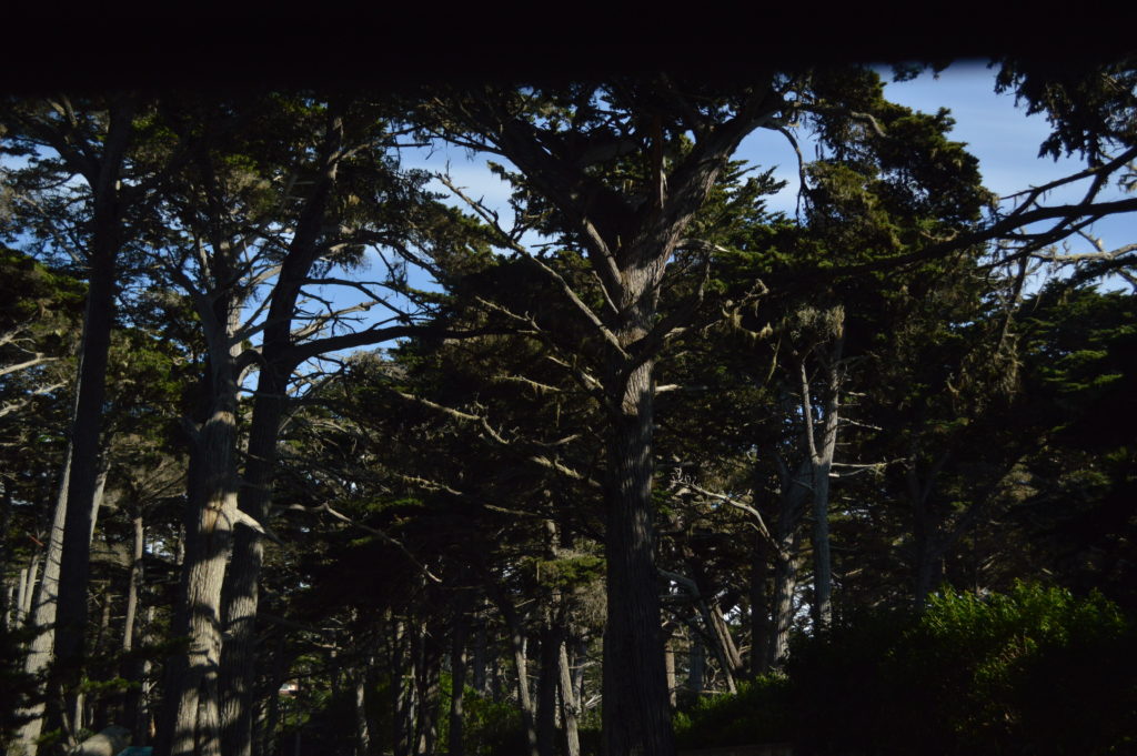
First of, I cant help but thank Kanika for spending an entire weekend, driving Poorva, Herwin and myself all the way from Cupertino to Big Sur and back. This is one of those last-minute-lets-go type of trips which was entirely planned by the three of them. Monterey is a 90 mile drive along the US-101 S from Cupertino-California and takes about an hour and a half to get there. Monterey county is located on the southern edge of Monterey Bay and the surrounding areas have attracted recognized artists, painters and writers. A few must-visit places at Monterey are the Bay Aquarium, The Fisherman’s Wharf, Cannery Row and the famous Jazz festival which is held annually. I frankly did not visit the above mentioned locales but my attention was more on the scenic drive along the massive Pacific coastline.

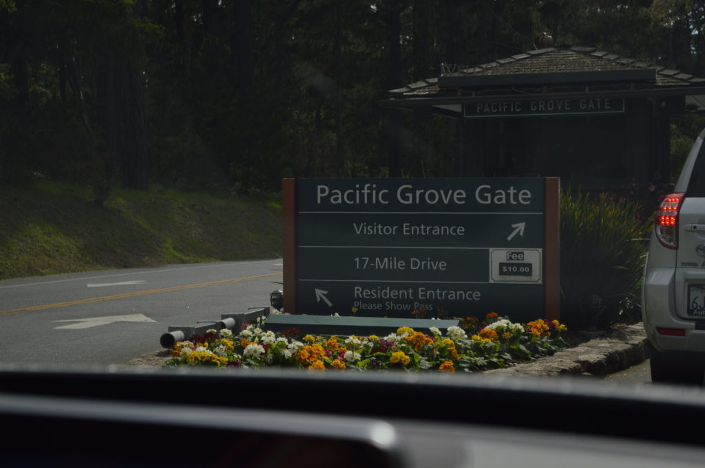
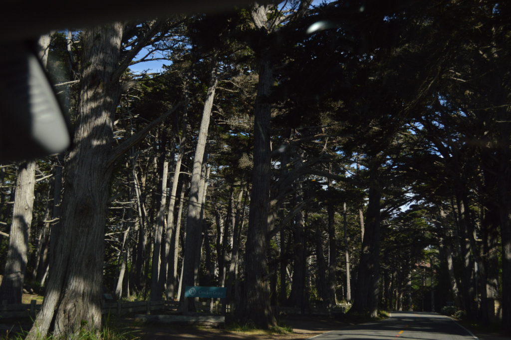
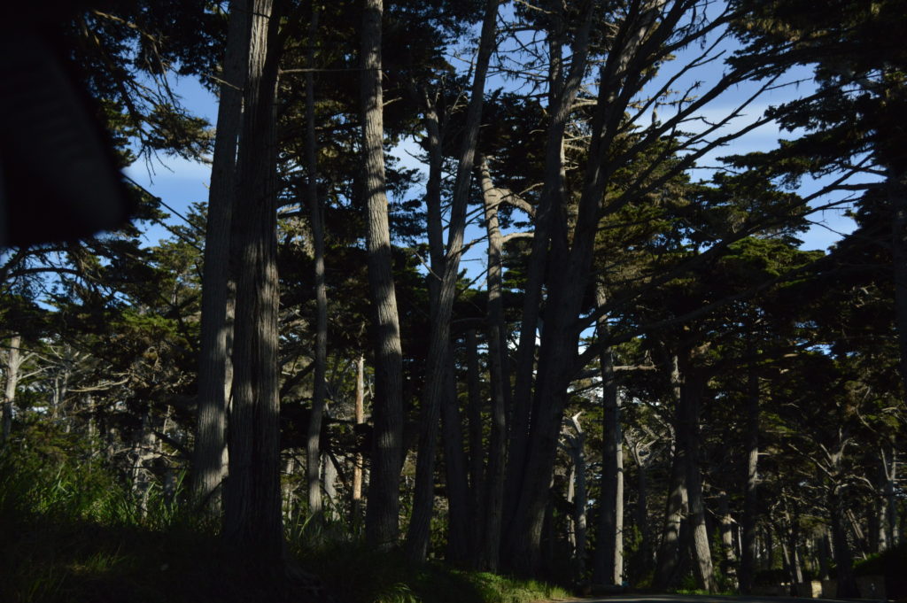
It all starts with the famous 17-Mile Drive, which is a scenic road passing Pebble Beach and Pacific Grove on the Monterey Peninsula. The 17-Mile Drive starts at the Pacific Grove Gate and in turn marks the entrance to Pebble Beach. The drive is the only main road through the gated community of Pebble Beach and visitors/tourists have to pay a toll to use this road.
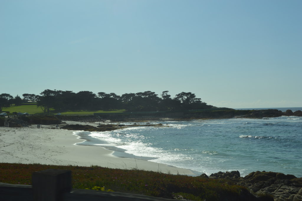
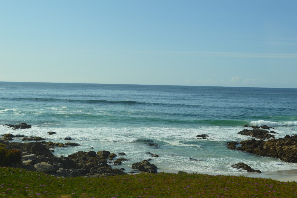
Pebble Beach is a gated community on the Monterey Peninsula in Monterey County, California. In addition to being a small coastal residential community, Pebble Beach is a resort destination and home to famous golf courses like Cypress Point Club, Monterey Peninsula Country Club, and Pebble Beach Golf Links. Besides the real-estate, scenic attractions include Cypress Point, Bird Rock, Point Joe, Pescadero Point, Fanshell Beach and Seal Point. Of these, we visited Pebble Beach (below video), a cafe at Pebble Beach Golf Links and Cypress Point.
As you can see the video is self-explanatory, Pebble Beach is just mind blowing. The clear blue skies with streaks of scattered clouds, the almost clear-looking white sand and the below-zero freezing water of the Pacific Ocean. I envy the residents of Pebble Beach community- who would ever think that this is a gated community- such a vast area. As for famous residents, Clint Eastwood happens to have a home in this beautiful community. Pebble Beach owes a lion share of its visually arresting qualities to the granite rock formations and the small islets visible along the coastline.
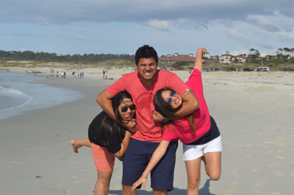
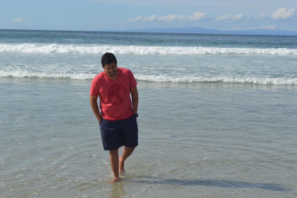
We walked along the beach for a while but everyone seemed a little sceptical about going into the water. Frankly, they weren’t even ready to go dip their feet either- I found that a little absurd until I actually did it. The first thing that came out of my mouth was the f-word, I couldn’t explain how bone-chilling the waters were. After dipping my feet into the water, the warm white sand which we were earlier hopping on (it was kind of hot) seemed like a reasonable alternative. Come to think of it- is a no-brainer; the North Pacific Ocean is an extension of the Arctic Ocean so it has to be this cold; in other words- frigid. We hung around for a wee-bit and continued to head along the 17-Mile Drive.
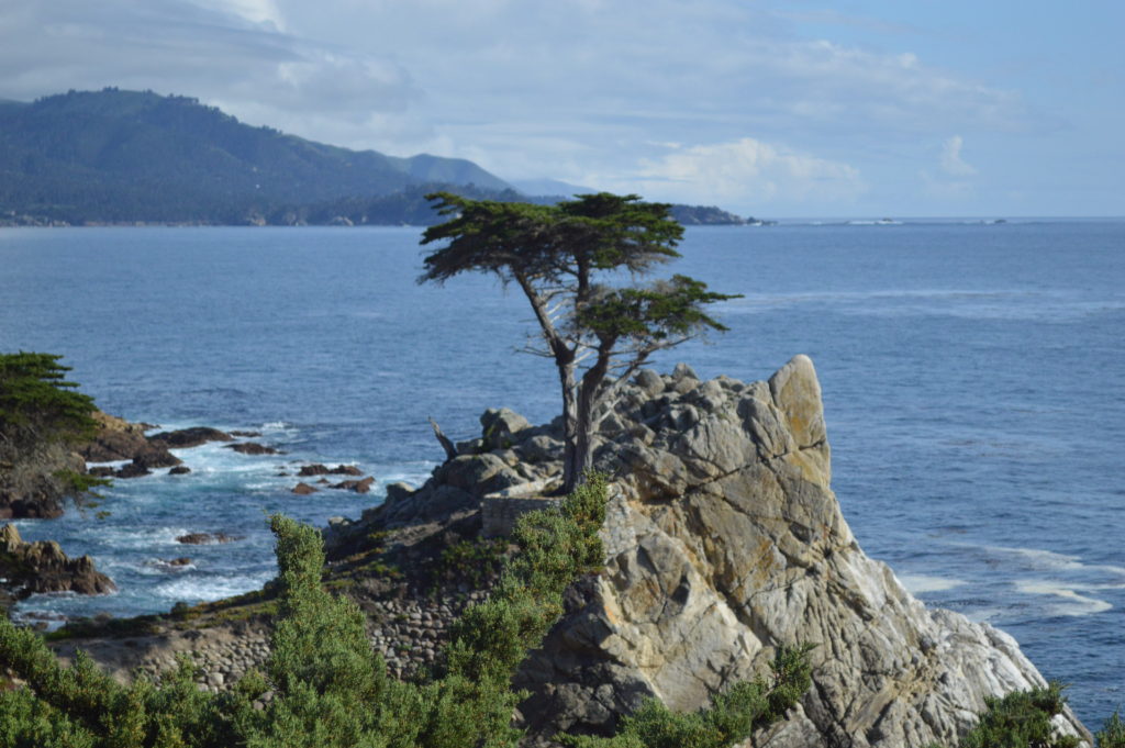
The cold weather sort of got us all hungry and so our next stop was the Pebble Beach Golf Links, at a cafe. We quickly grabbed a few sandwiches, some hot beverages and continued on our way to another iconic spot along the 17-Mile Drive, The Lone Cypress. In general, Cypress is an evergreen coniferous tree with small rounded woody cones and flattened shoots bearing small scale-like leaves. In the Monterey area, Cypress trees grow naturally but, only along the Pebble Beach and Point Lobos. The Lone Cypress is the most photographed tree in North America and countless selfies have also been taken at this location with the Cypress Tree in the background. The Lone Cypress Tree sits on the granite hillside off California’s scenic 17-mile drive in Pebble Beach, it is iconic. The tree is located between Cypress Point Golf Course and the Pebble Beach Golf Links, two of world’s most well known golf courses. This tree could well be over 200 years- the cypress has been battered by strong winds from the Pacific Ocean and at times damaged by fire. There were instances when this tree was held in place using cables- such a symbol this tree had become and in order to protect it, Pebble Beach Company registered a drawing of it as it’s trademark.
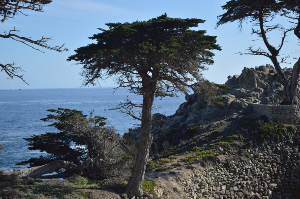
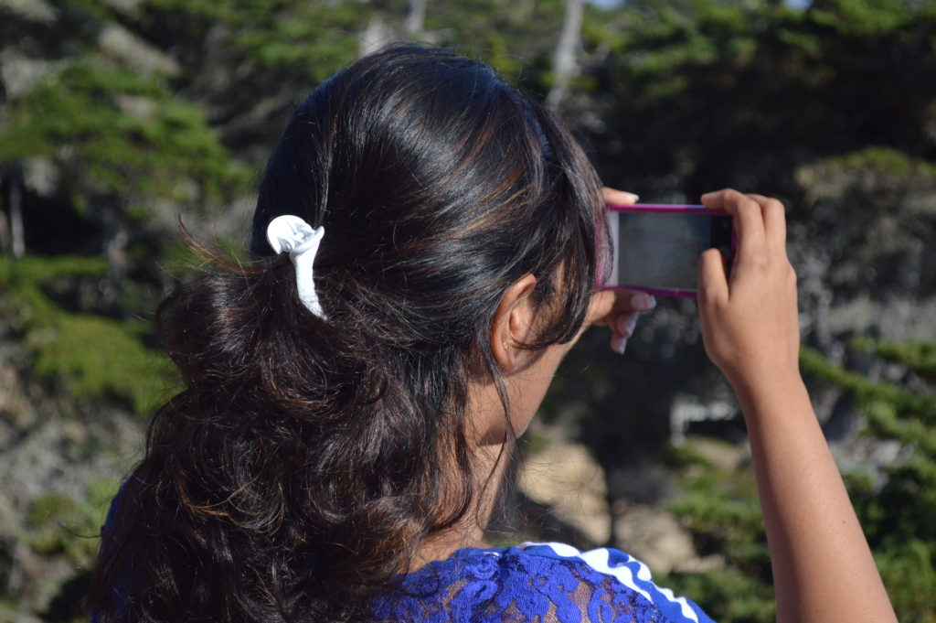

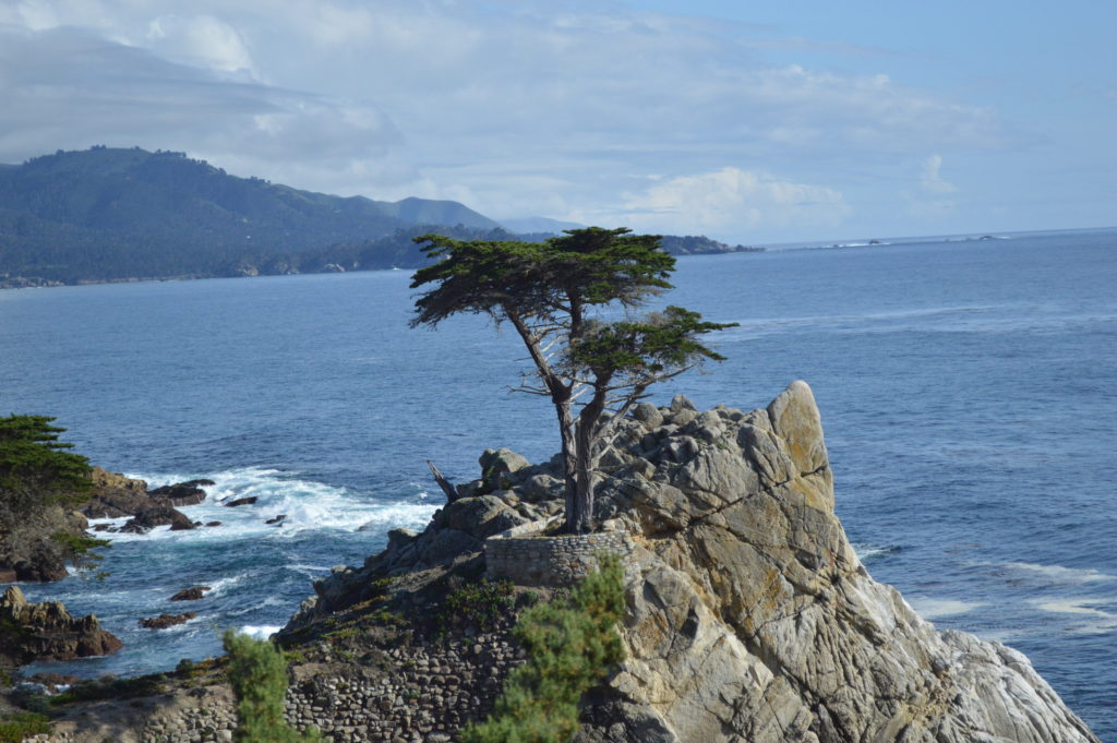
The pictures we clicked at this point turned out to be soo visually captivating that I decided to use the images of The Lone Cypress as the cover photo on my website and the FB page. I believe that credits are always due and so thanks to my wife Herwin, for clicking the picture on her iPhone 5s- that picture is now the cover photo of Gulp ‘n’ Munch’s FB page.
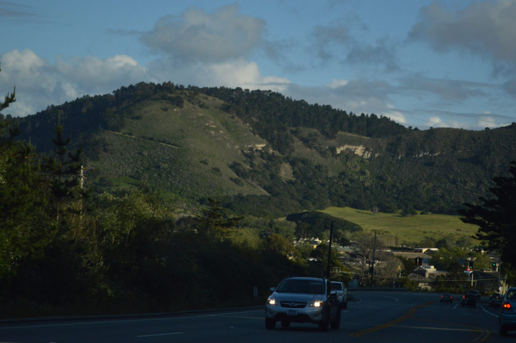
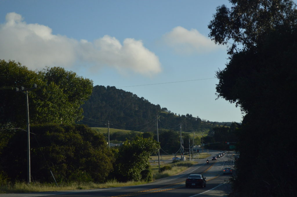
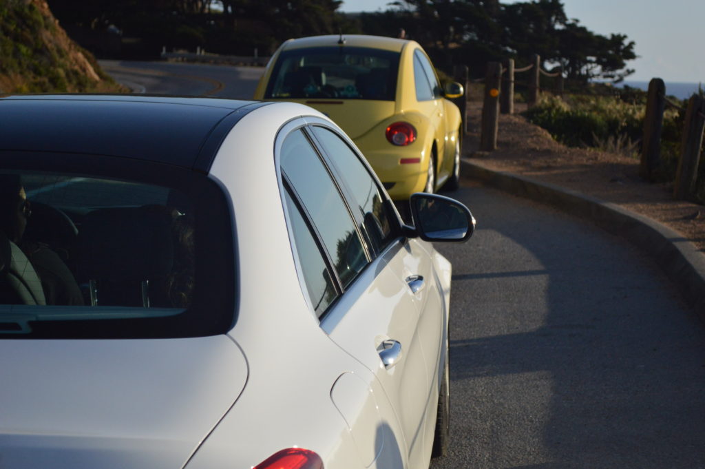
We spent a considerable amount of time here compared to the previous locations we visited. But little did I know, that the upcoming drive would be the one that would make my day. Earlier, I spoke about the Pacific Highway in the game Roadrash? Well, once we exited the 17-Mile Drive at Carmel gate we were exposed to one of the most awe-struck, scenic-drive that we have experienced in our lives. The Pacific Highway also famously known as the California State Route 1, is a modern marvel- meandering its way along the rugged Pacific Coastline with a view to die for (not exaggerating).
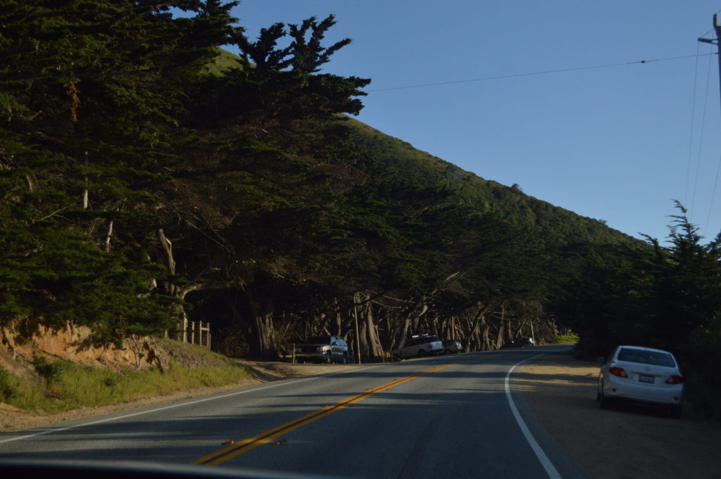
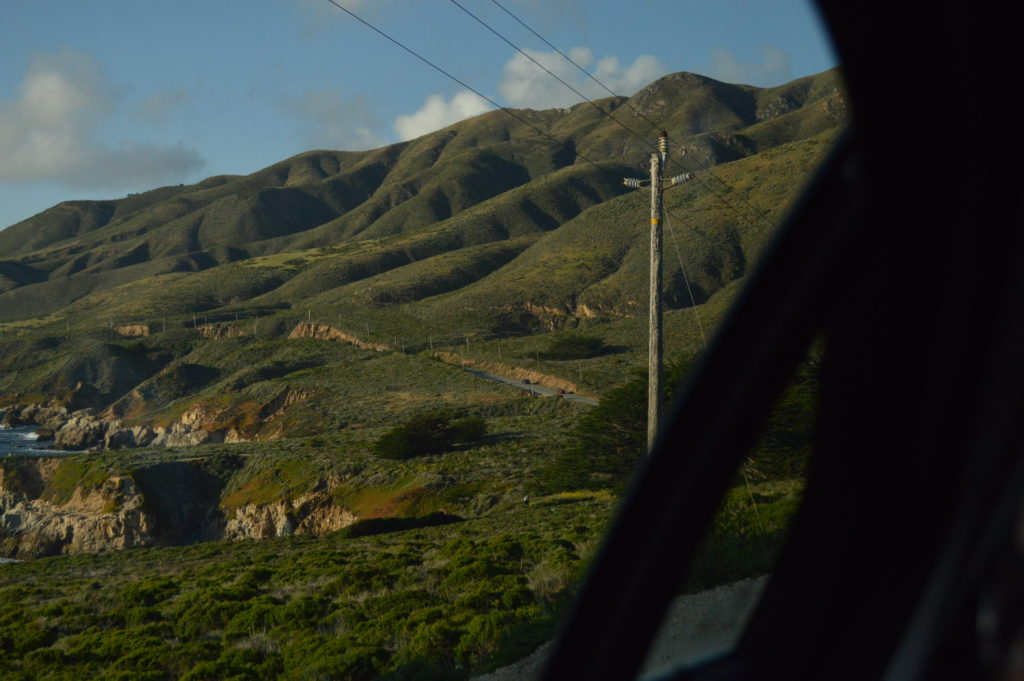
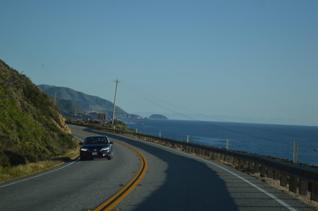

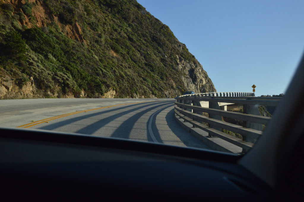
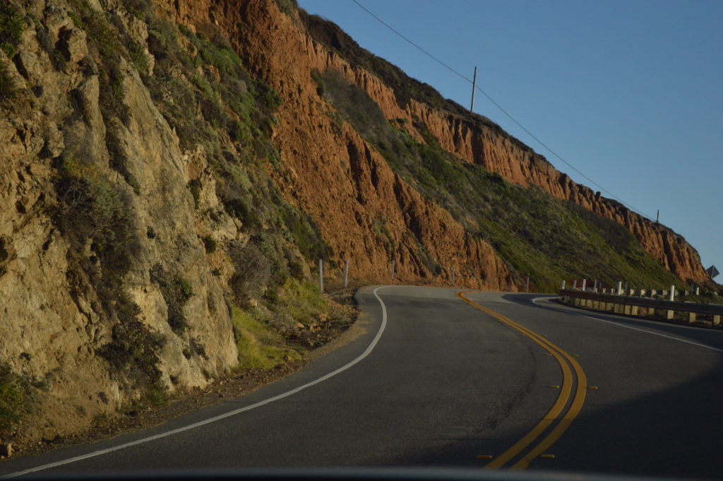
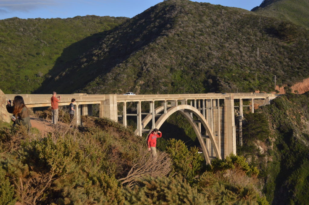
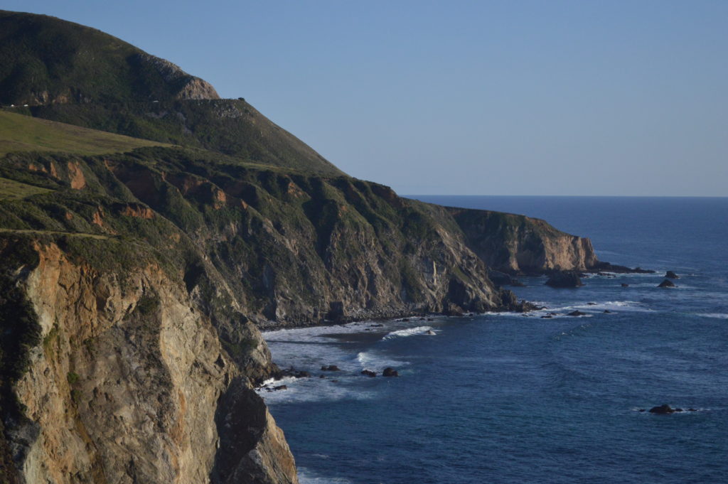
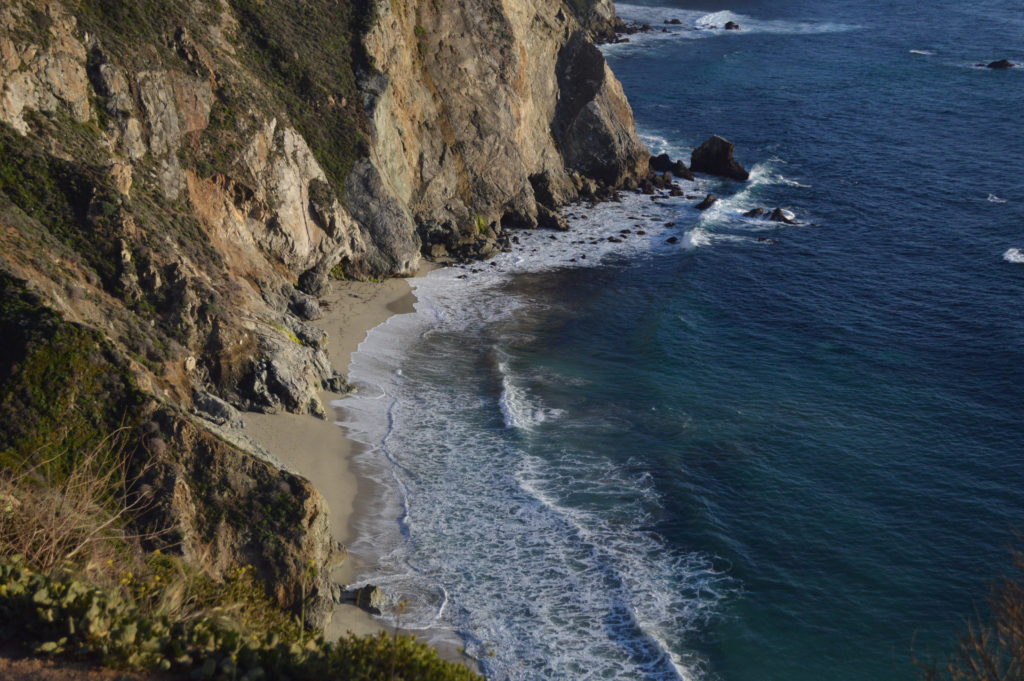
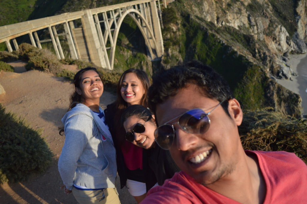
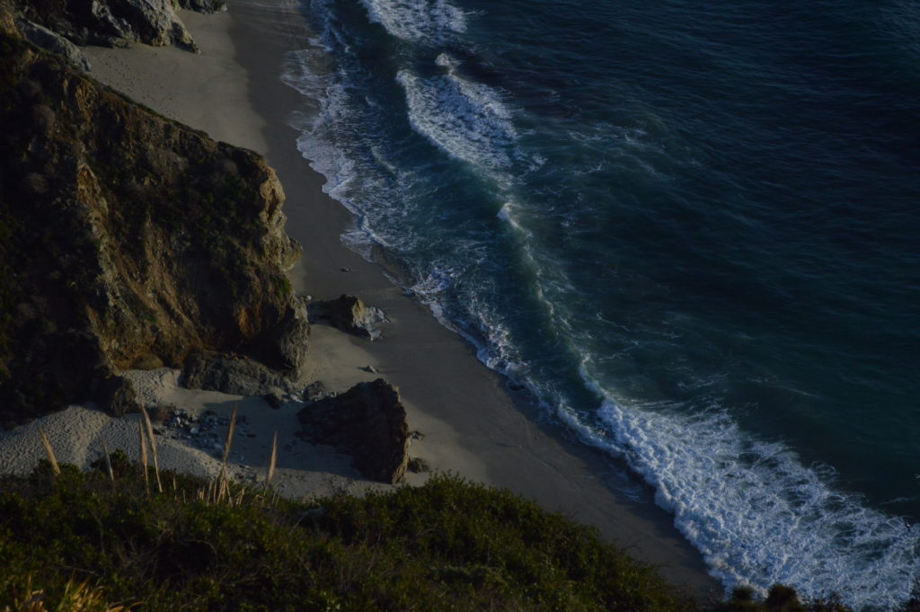
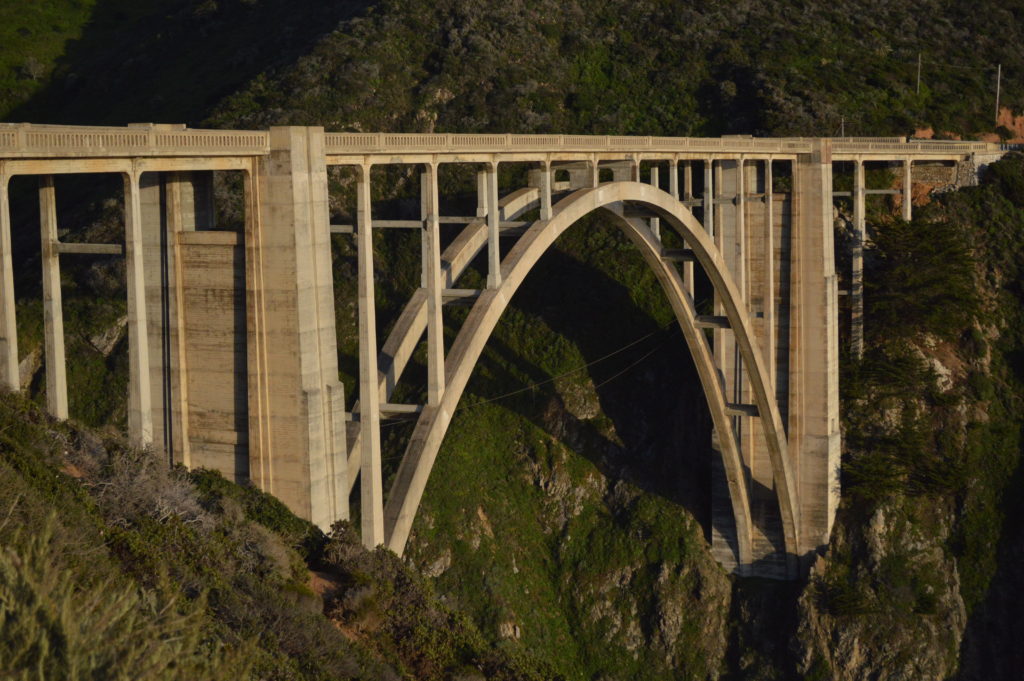

If you have played the video-game, this would be a Déjà vu- the CSR1 is modern engineering at its best. I wondered how could they pave roads on such treacherous highlands- the roads (at certain intervals) go up-and-down in gradual slopes and some of them are a good 100-ft between each consecutive crest and trough. The route required constructing 33 bridges , the largest of which is the Bixby Creek Bridge; six more arch bridges were built between Point Sur and Carmel. Fun Fact: San Quentin Prison set up three temporary prison camps to provide unskilled convict labor to help with road construction. One was set up by Little Sur River, one at Kirk Creek and a third was later established in the south at Anderson Creek. Inmates were paid 35 cents per day and had their prison sentences reduced in return. Do check out the video of Bixby Creek Bridge at the top of this blogpost.
This was our last stop and at the same time, the sun had begun to set- driving on this road can be challenging in the night. Although I was a little sceptical about the drive back, Kanika accomplished it with ease; we were out of the CSR-1 in less than 30 mins. On our way back, a thought struck me- something about a similar terrain back in India (on the west coat). If you have travelled from Goa to Mangalore or for that matter from Hyderabad to Mangalore by bus, do you recall the winding roads between Honnavar and Kundapur? These roads are as treacherous and located on such a high terrain along the west coast but never maintained. Many would say that it is difficult to maintain owing to the torrential rains that come with the monsoons. But, even the Pacific Coastline of California is weathered by severe storms and moreover it also lies on the San Andreas fault-line– likeliness of earthquakes and landslides. But yet, I have read that an annual maintenance cost is shelled out to ensure that the CSR-1 is always up and running. Of course, the above few lines are arguable and I know that it is just about 60+ years since India achieved independence compared to the United States which is 200-250 years. But, I wish someday- if not during my time- India too would have such a highway along one of its beautiful coastlines and that would be a symbol for tourists from other countries. They would feel the same way I felt when I drove along the Pacific Coastline.
Leave a Reply